The Claremont Colleges Library is pleased to be offering 5 weeks of online GIS learning opportunities for the Claremont community this summer. These are separate online “challenges” that will introduce learners to certain components of the ArcGIS suite of tools. This is an self-paced series of modular challenges designed to be completed over the course of five weeks this summer.
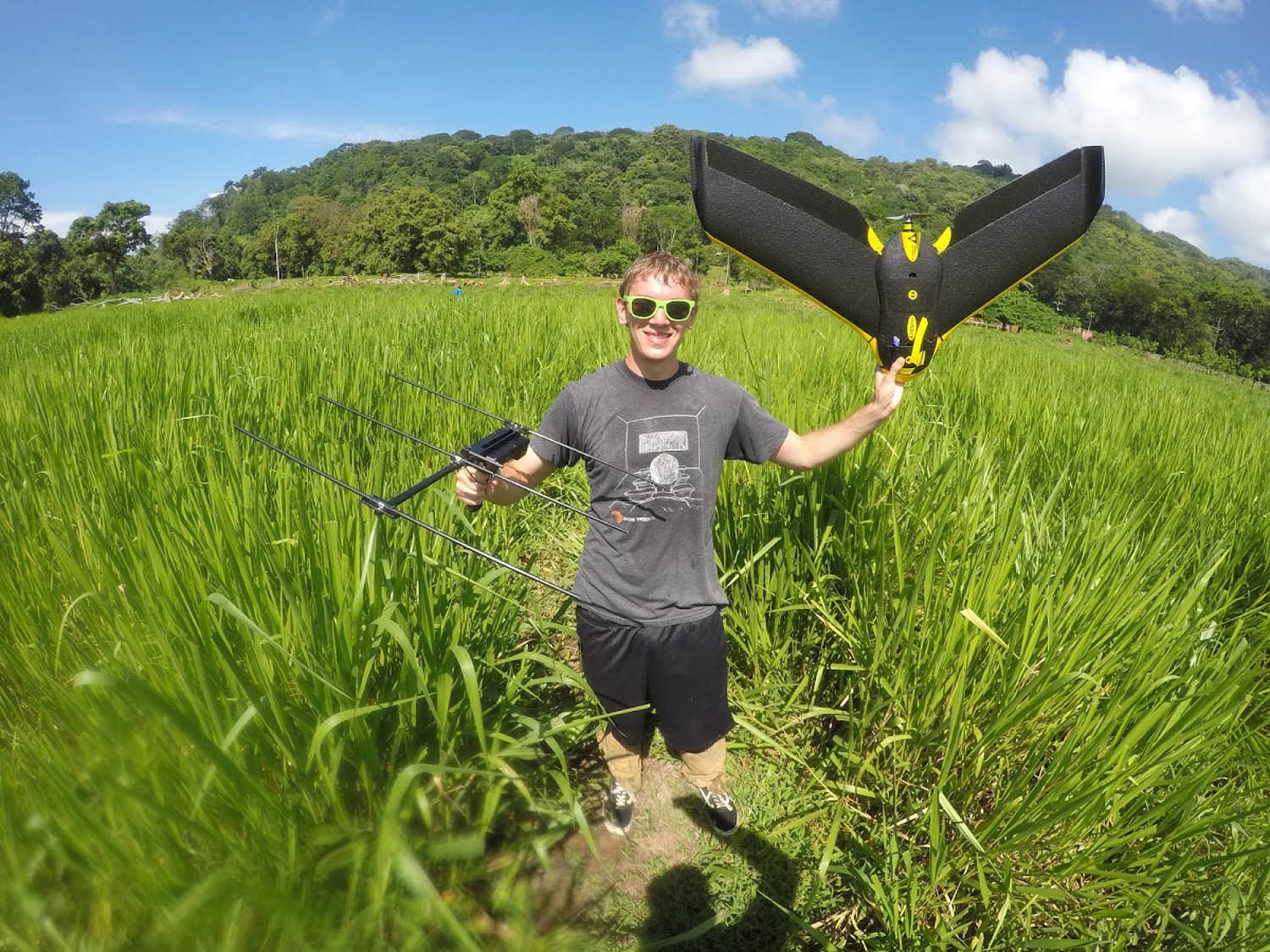
We’ll start out with the basics of ArcGIS Online the first week (July 13-17) and move into more specialized topics, such as drones and mobile data collection, as we proceed. Each challenge includes a mix of digital “lecture” content (for example, websites or videos highlighting key concepts and scholarly uses) and a brief exercise, where you will get some hands-on experience with the techniques and tools covered in each challenge. You can do this at your own pace.
Each Thursday, we will meet up from 1-2:30 on Zoom to share our work, ask questions, get started, or just watch and learn. No pressure to participate!