The use of geographic information systems (GIS) tools to visualize and explore our physical environment has exploded in popularity in recent years in industry, government, and academic settings. GIS supports scholarly work in the environmental sciences, such as the Pitzer field station project in Costa Rica, this and compelling story map from UCLA scholars on indigenous history and displacements in Southern California. Here at the library, we are part of GIS projects applying these tools to our environment right here in Claremont and beyond.
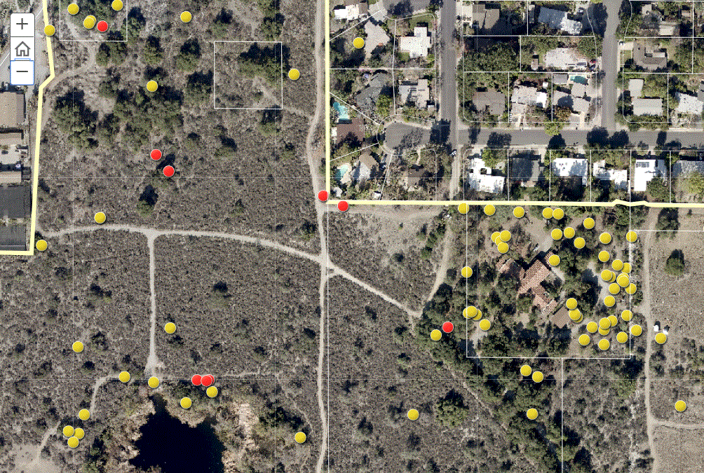
The Bernard Field Station is a 86-acre natural habitat located at the northern end of the Claremont Colleges campus just north of Foothill Boulevard. The preserve environment is mostly coastal sage scrub, Riversidian alluvial fan scrub, live oak forest, and grassland. These few acres are home to a wide variety of plant and animal species native to Southern California.
The mission of the BFS is “to provide facilities and ecological communities for high-quality teaching and research experiences in the biological, environmental, and other sciences, to the students, faculty, and staff of the Claremont Colleges.”
For many years, a key part of the research conducted by Claremont students and faculty at BFS has involved the use of geographic information systems (GIS). GIS tools integrate digital maps with imagery and research data for in-depth analyses and visualization of research questions about the natural and built environment of this part of California.
Library GIS specialist Warren Roberts authored an ArcGIS Storymap to showcase several of the research projects at the field station from the past few years. For example, student research examined the growth of cholla cactus and nesting patterns of woodrats. Drone imagery records the extent of a 2017 wildfire. Explore these projects and others at the BFS storymap.
Interested in making your own Storymap or exploring GIS? Contact us!